Mostly cloudy, becoming mostly clear by sunset. Temperatures in the 30s. Calm winds.
I saw fresh snow down on Gavan Hill when I looked out the window this morning. There may have been some precipitation overnight in town, though it was likely rain at sea level and I don’t think there was very much of it.
It had been nearly 12 weeks since I last took care of the Indian River ibuttons. Each ibutton will record 2048 temperatures. I have them set to record every hour, which works out to 12 weeks, 1 day and 8 hours.
I had not calculated exactly when they would fill up, but figured I had at least a couple more days. However, with warmer temperatures the past two days and nights, and freezing temperatures tonight, I thought the trail might become icier so today migth be my best chance.

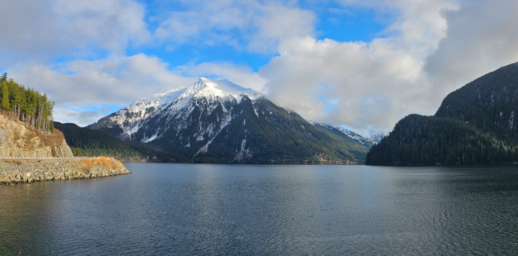
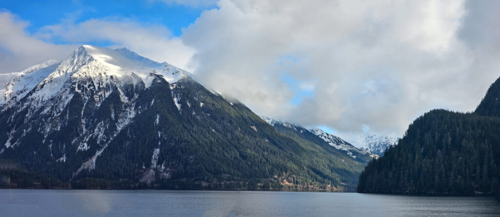
I didn’t head out until this afternoon after the clouds had mostly broken up. I drove out to Silver Bay first. Conditions seemed pleasant out there. I did notice some birds far out, but didn’t work too hard to figure out what they were.

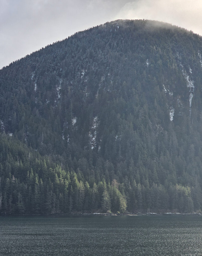
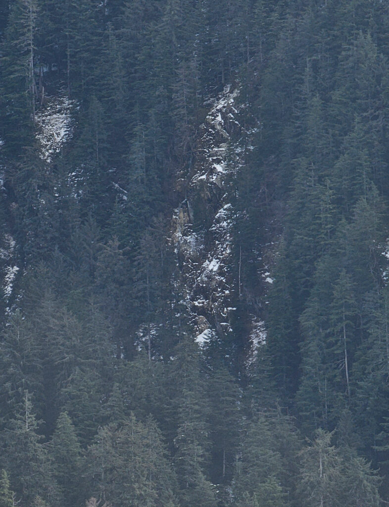
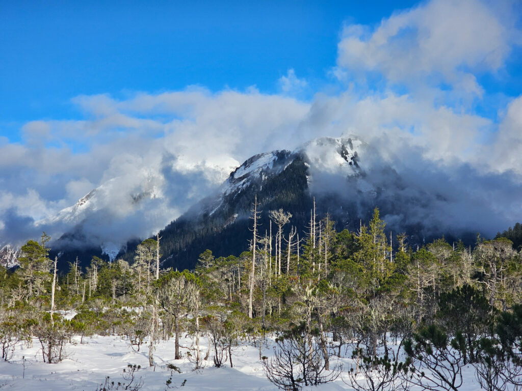
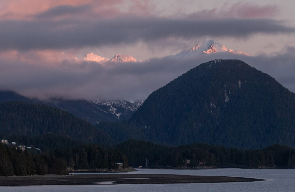
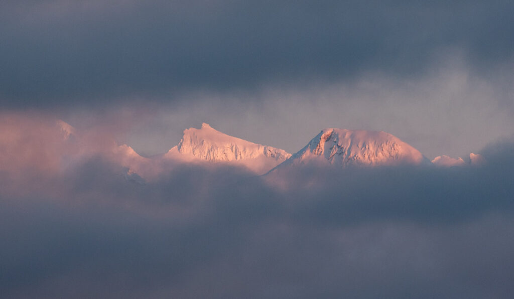
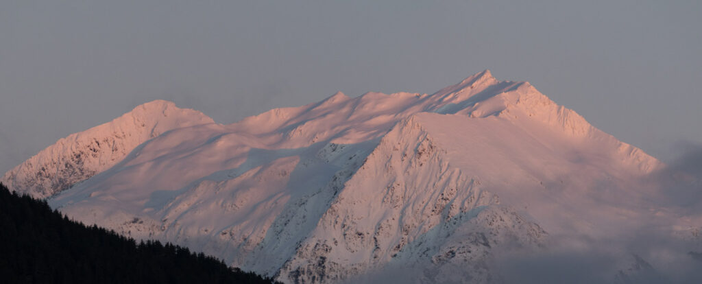
While there, I looked a little closer at Sugarloaf Mountain. The slide looking area I had noticed recently was more clearly visible today. I think it has been there for some time, but it just happened to catch my eye that day.

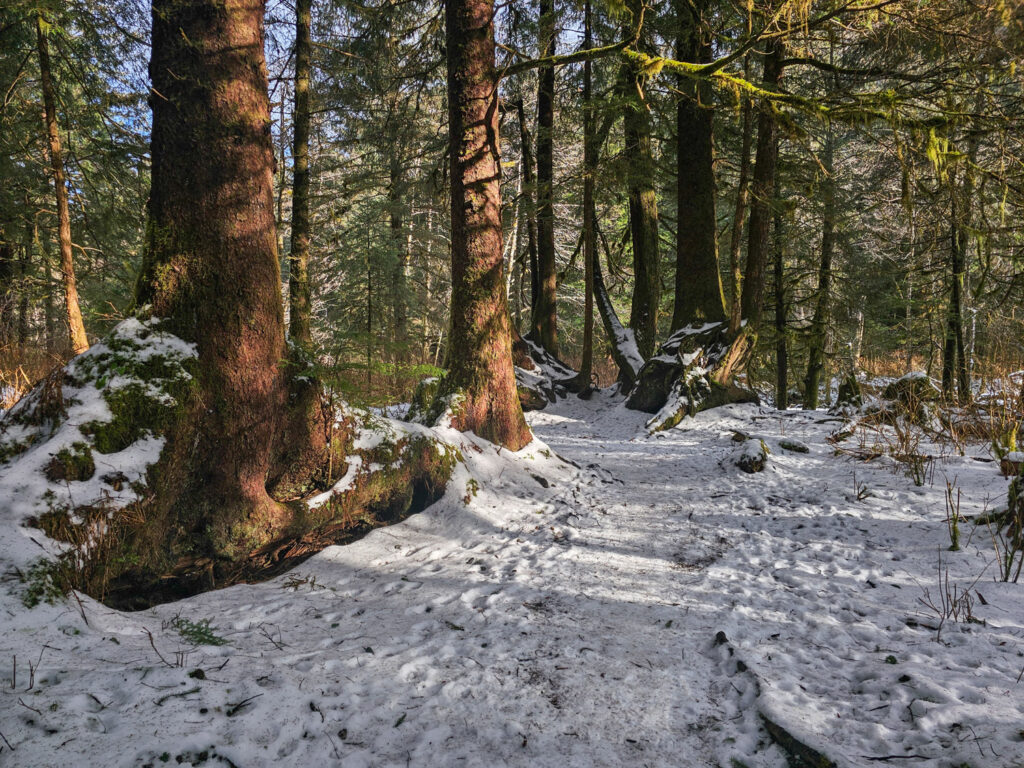
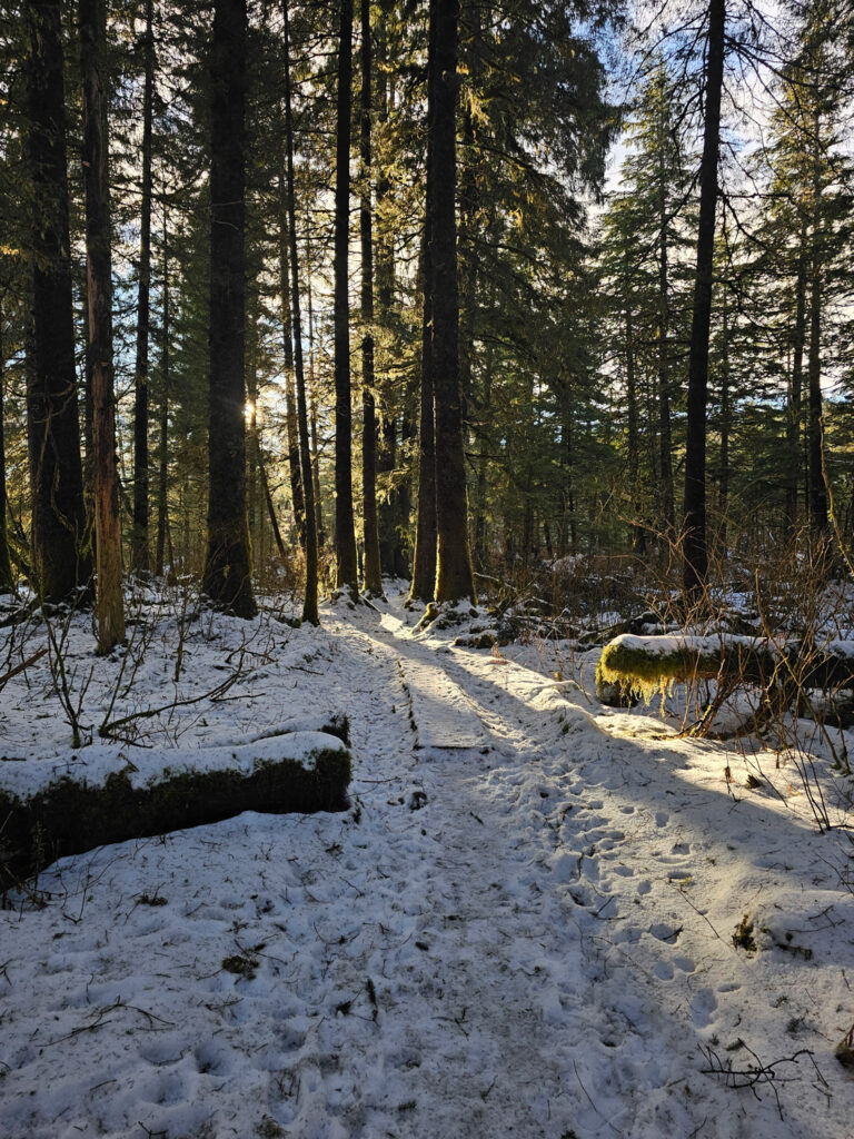
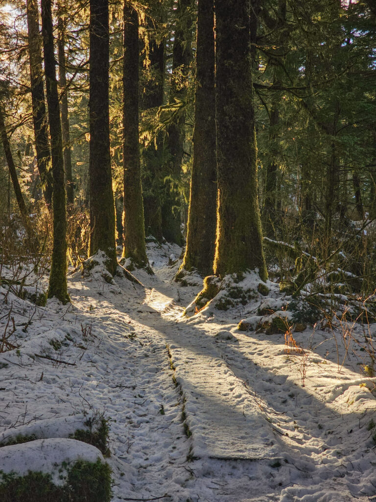
The trail was well travelled, but I did not find it too slippery. I passed several other people our enjoying the weather.
I was not the only one to go up off the trail today. I saw one other set of fresh tracks. It also looked like multiple people had been up since the initial snow over a week ago. It’s possible someone is running a trap line, but the tracks may also have been from someone just out for a hike.
Conditions were such that I was able to make pretty good time, even though I wasn’t pushing. My round trip was 4.3 miles in just over 2 hours.

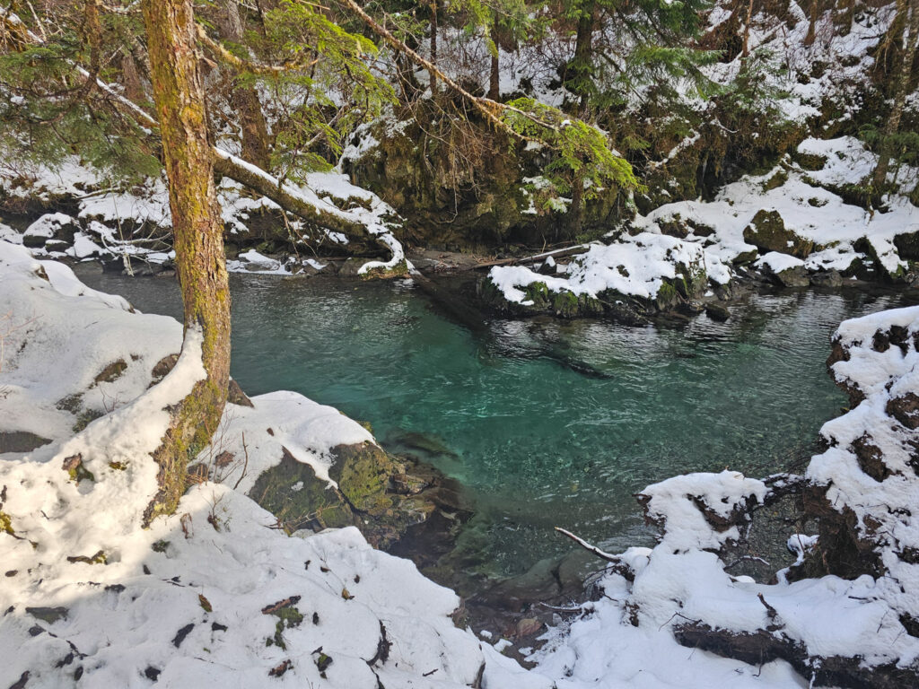
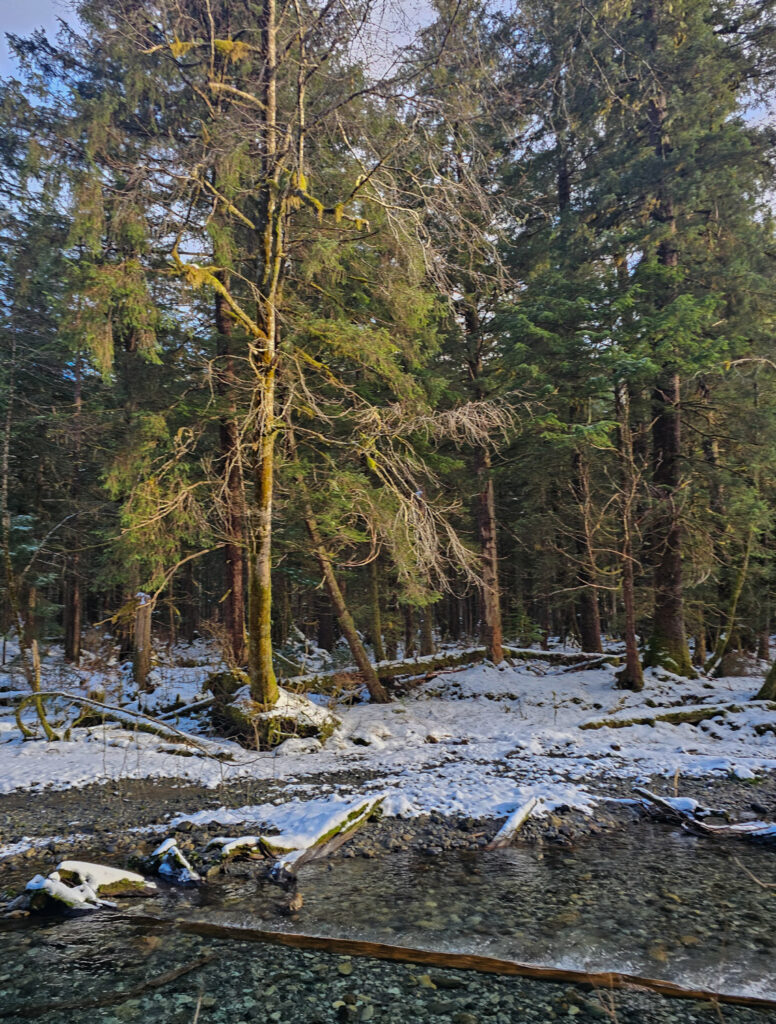
I made note that the swimming hole had scoured back out again. I was recently reminded of a prior visit when working on photojournal entries from last February. At the time I had noticed it filled in.
Folks cut the trees that were across the trail and laying partially in the river. Presumably this allowed for higher velocity water to move the rock downstream during some of the rain events over the fall. It’s easy to take for granted just how much rock is being moved down river each year (probably mostly over a very few days), but but it is almost certainly a lot of material.
As it turned out I did still have 3 days left before the ibuttons would have been full, so there won’t be a gap in the data this time.

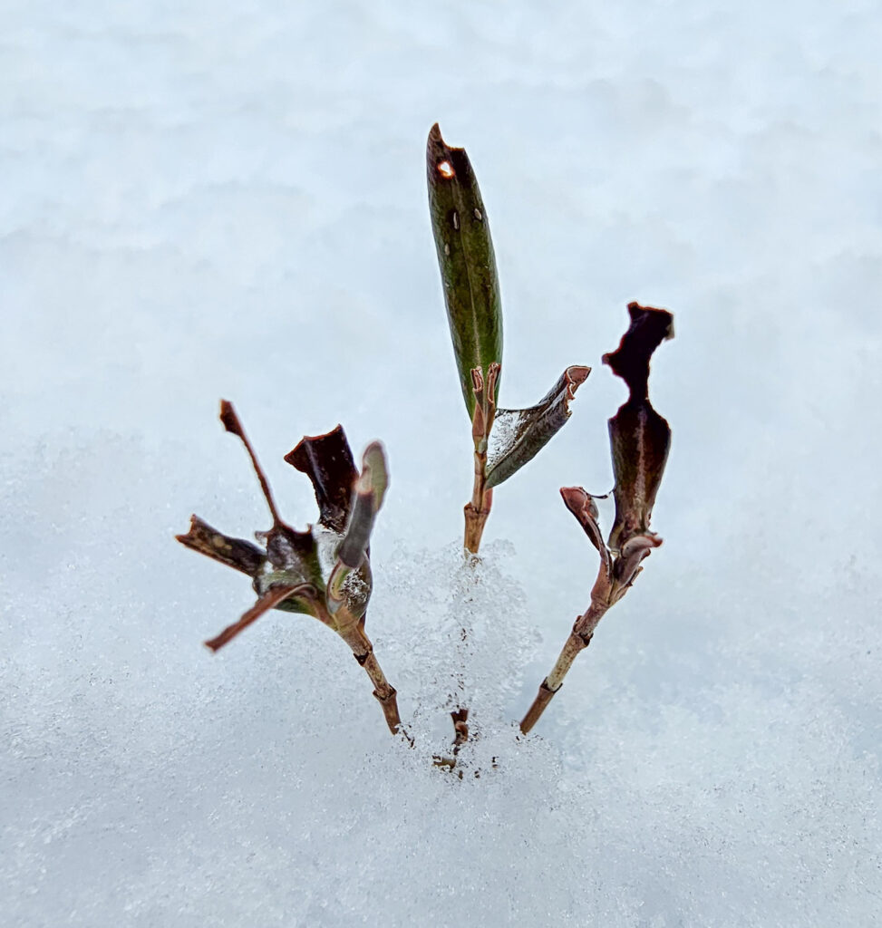
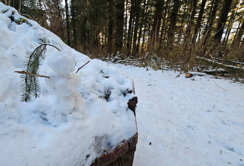
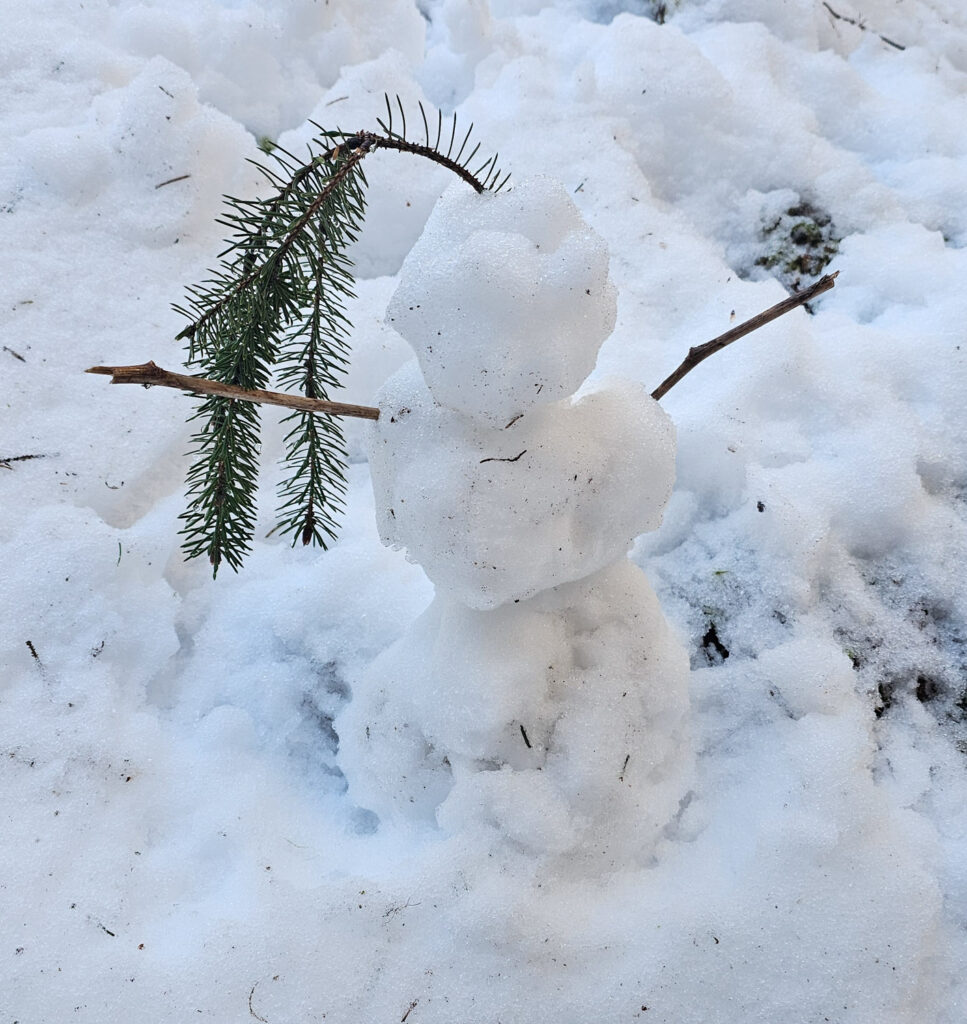
Snow in the forest and muskeg up the valley was probably a few inches deep. I did not sink far into it. Fortunately the transition area between forest and muskeg was solid enough to walk on. It can be difficult to get through there without wet feet (I wasn’t wearing boots).

I enjoyed the warm light in the forest on my return down the trail.
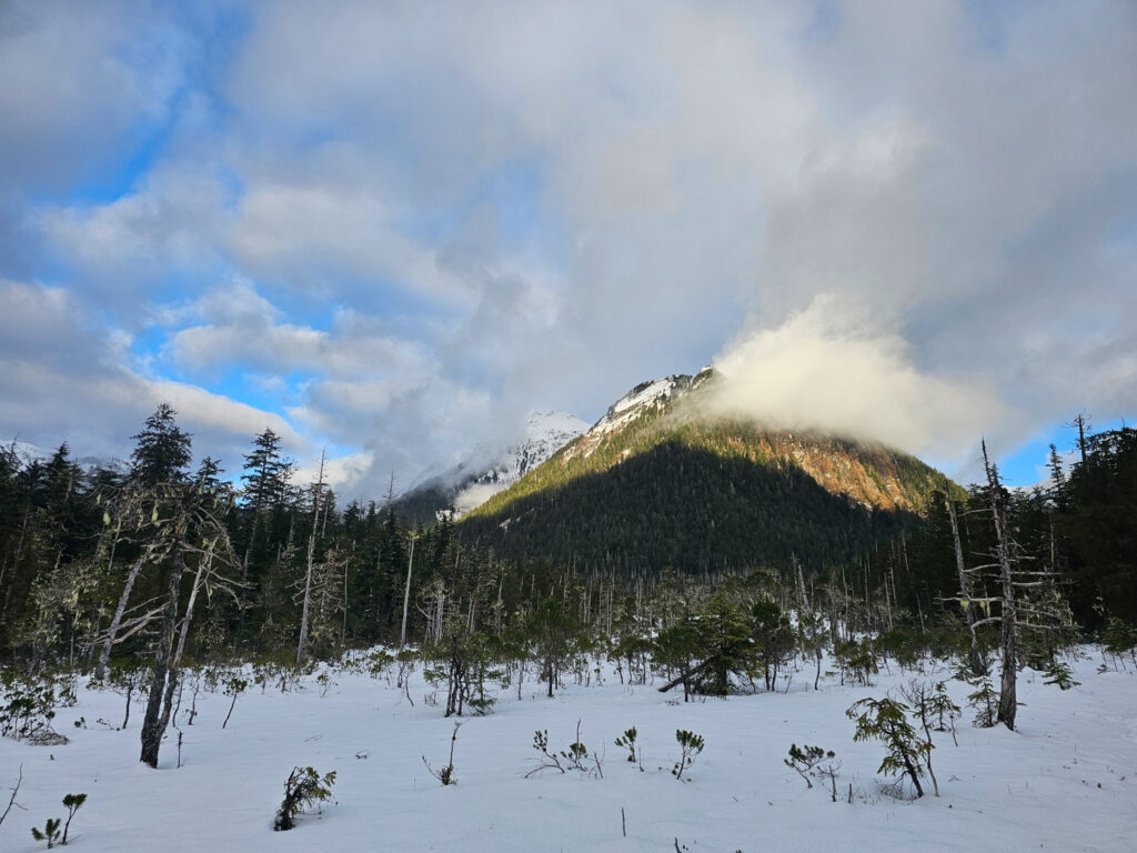
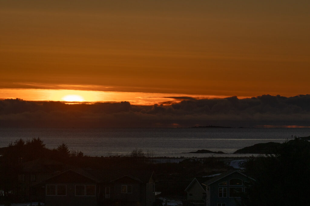
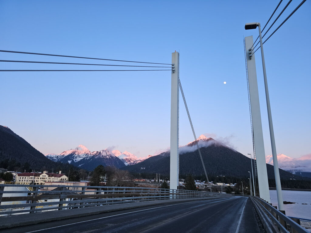
Skies had cleared enough that I decided to stay out for sunset.
I had an hour, so first made a drive around Jarvis Street to Price Street and then up to Eliason Loop. I had received a text about a Northern Shrike in the area. Had I not been so far up Indian River trail at the time, I might have abandoned the ibuttons until another day (again) to go chase the bird.
I had no luck finding the bird.

I stopped by Sealing Cove briefly to check on Kitty’s boat.
I left my big camera in the car. As it turned out, I would have liked to have it. I saw a kingfisher dive down and grab a good-sized sculpin. I am not sure I would have managed a photo, but I might have had a chance when it was perched up in front of me.
While there, I noticed the tide seemed quite low. Since I was out for low tide the last couple of days, I figured today’s low would be around 5pm, and not predicted to be an especially low one. Since it was only 3:45pm, I was surprised. When I was home, I checked and saw it was running more than 1.5 feet below predicted. the 5pm low was supposed to be -0.5, but ended up being -2.1 or so.
If it keeps running so far below predicted, I might make an effort to get out to a beach tomorrow evening (though the cold may dissuade me).

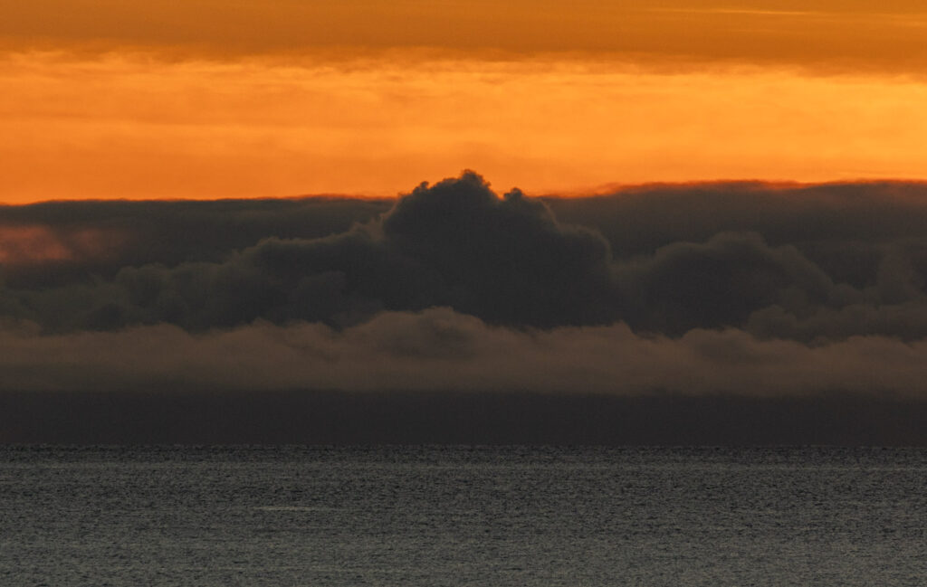
A heavy bank of clouds on the horizon meant there wasn’t much of a sunset. However, I was interested to see how close the sun is getting to Vitskari Island. I suspect it might be setting behind the Vitskari by the end of the week (or not long after). Time will tell if there’s an opportunity to confirm visually. (I could just check a sun calculator, but that’s not as much fun.)

Coming off the bridge from watching sunset, I noticed a very light dusting of fresh snow on trees above about 2000 feet on Verstovia and Gavan Hill. Clouds had been over them until well into the afternoon. Although I ddn’t notice any precipitation, I think it must have been falling inside the clouds.
I continued to make progress on last fall’s photojournals. I’ve now published back through the last half of November (I’m working backwards).
My iNaturalist Observations for Today