Mostly sunny, temperatures just below freezing overnight rising to the 40s during the day. Calm winds.
I made more progress on my Sitka Trails site. Mostly what I’ve been doing is cleaning up track files of trails for display. This means zooming in and removing extra little jitters and such that sometimes happen when recording GPS tracks. Then I run them through a site that addes a digital elevation model-based elevation profile. This is usually better than what I get from the track, but does sometimes require manual adjustments (not for higher precision, but to better capture the qualitative shape the elevation changes).
The work can be a little tedious and easy to lose track of what I’m doing among all the files, especially when I find it necessary to break a larger track into segments. I do this in order to make it easier to piece things together later based on trail type, or for a particular route (when there is more than one alternative).
I mostly worked on the trail site this morning, then made it out after lunch.
Today I decided to bike a loop from Sandy Beach up Kramer Avenue and then down from Harbor Mountain Road and back along Halibut Point Road to Sandy Beach. It was 2.7 miles and took me 20 minutes (I didn’t stop to take pictures along the way).
Next I revisited the SEARHC trails, since my last track of those was messed up. Since I hadn’t yet made any observations for the day, I poked around the trees near their ropes course setup, mostly looking at lichens.

I was caught off guard by how bright the sun reflected off the glass windows of the new building. I wonder if it will be enough light to influence the vegetation where the reflection hits.
I initially was undecided about whether to stay out until sunset, but ultimately decided to.

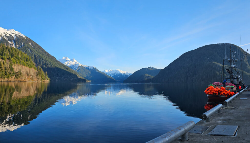
I filled the time by driving out to Silver Bay. The dock wasn’t as busy today, so I watched from there for a bit. The bay was very calm, but only a few birds were visible.
I had earlier noticed what seemed like smoke out towards Thimbleberry Bay. By the time I was on my way back in, it had spread out in front of the Pyramids.

Next stop was the Path of Hope to make a track of those trails. While walking them, I was reminded of the Japanese gardens we visited in Tucson. Not so much because it captured that feel, but because the way the benches are set up, it seemed like that might have been an intention. I know they did some clearing when the trails first went in, but things have become overgrown with dense young-growth hemlocks and thickets of salmonberries. It might benefit from some strategic and consistent tending to create space a little more conducive to contemplation.
My last stop before sunset was Castle Hill. I walked the trails there, including the stairs. There are 77 steps with 4 short landings.

Tonight’s sun set didn’t feature as much distortion or green as yesterday’s. I still had to fuss a bit with my camera (I really do need to get it sent in soon).
Connor went up Starrigavan Ridge today. He said the snow was pretty well-packed where he went part way up the ridgeline. It took him 2.5 hours to his high point. I haven’t been motivated to do winter mountain hiking for some years. It’s kind of a reinforcing cycle, since it’s easy to imagine it will be unpleasant due to poor conditioning. The problem has become that now it carries into summer. I’ve been working on being a bit more active, but there’s really no substitute for just going up hill.
My iNaturalist Observations for Today